Mobile Mapping
Mobile mapping is essential for capturing urban data and is often used in 3D urban modelling. Transportation authorities have used them extensively to map their assets.
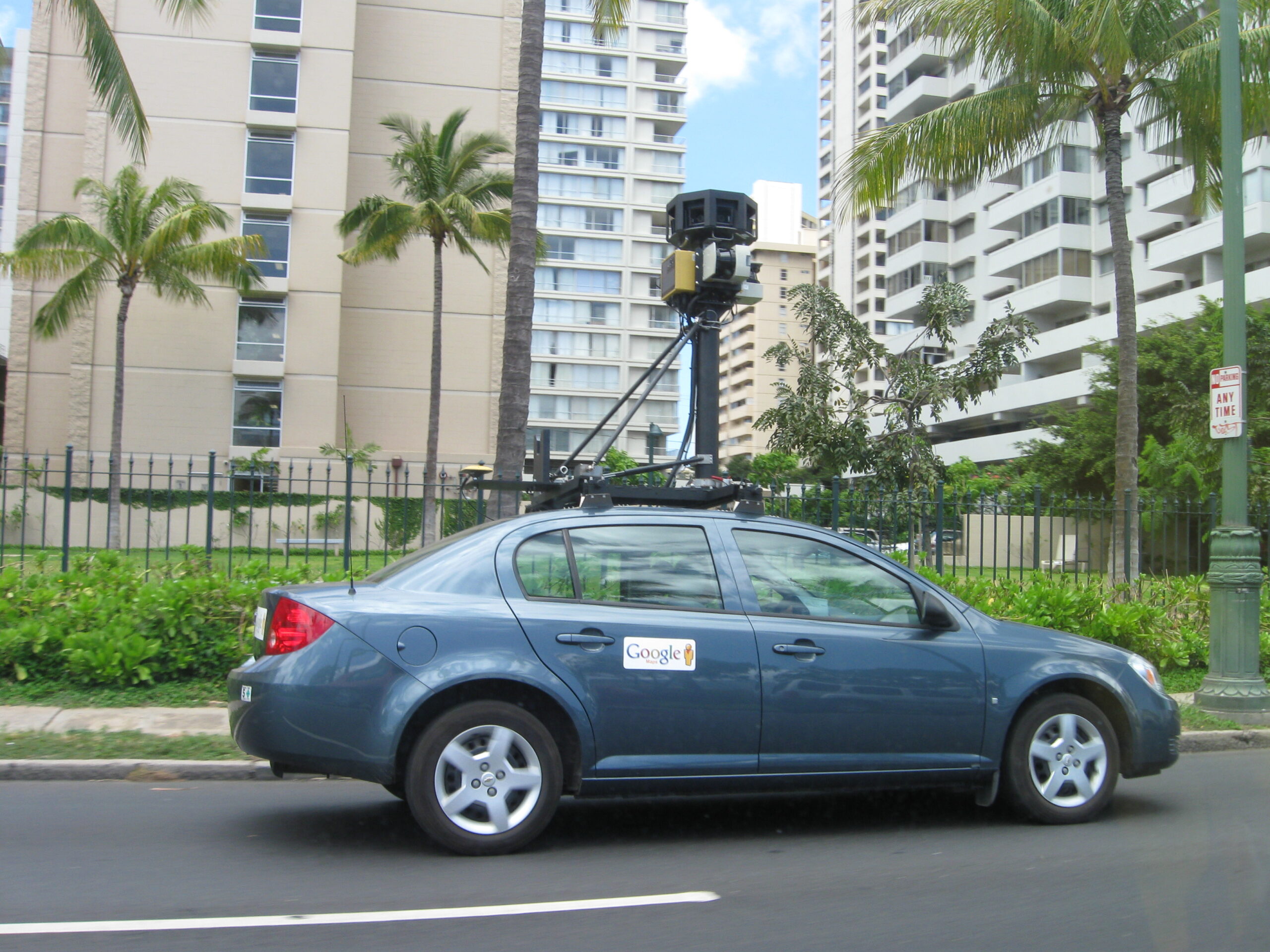
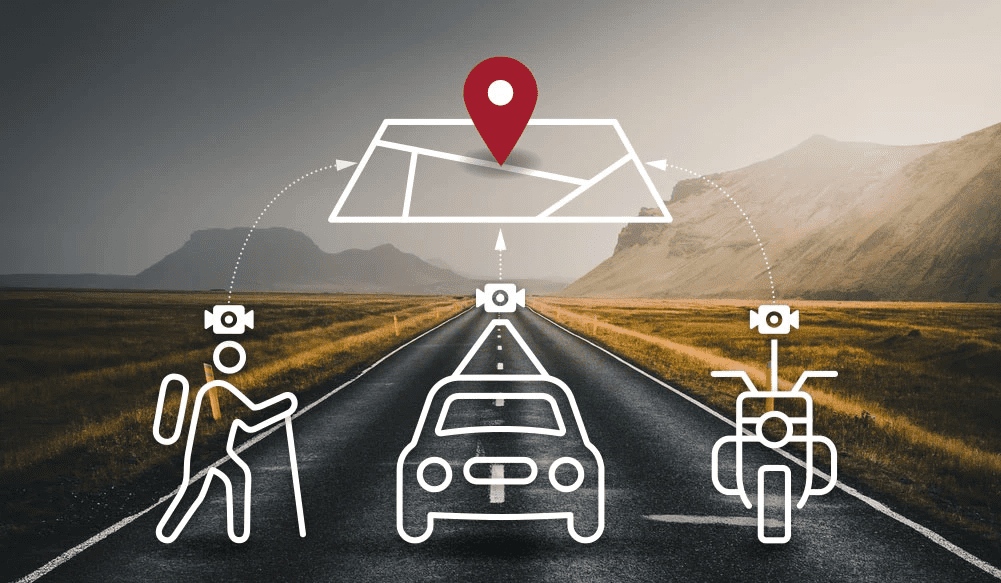
A variety of remote sensing technologies such as Photographs, LiDAR, Radar, etc., collect geospatial information. The information gathered by means of a remote sensor installed on a mobile platform is called mobile mapping (SUV, train, boat etc.).
The mobile platform is generally driven through a planned path to obtain data relating to the Spatial Model, such as 3D point cloud and appropriate pictures. The data cannot be gathered by static sensors accurately. In general, the mobile platform is mounted with calibrated digital cameras, LiDAR sensors, GPS and inertial sensors to accurately capture information.


We are a preferred provider of 3D topographic mapping, surface modelling, 3D asset extraction, sub-station modeling, and related mobile mapping services. Mobile mapping services from DM Technologies Pvt. Ltd aid customers to receive precise 3D navigation information by virtually displaying 3D maps of your property and producing 3D surface models.
The data facilitates new alignment planning, asset management, and generates accurate HD maps. Our services are applied in, but not limited to, online mapping systems, emergency response planning, road mapping, and road facilities management. Our comprehensive map layouts are specifically tailored to customer requirements so that customers can use them as reference material for designing and re-designing road networks, bridges, waterways, among many others

