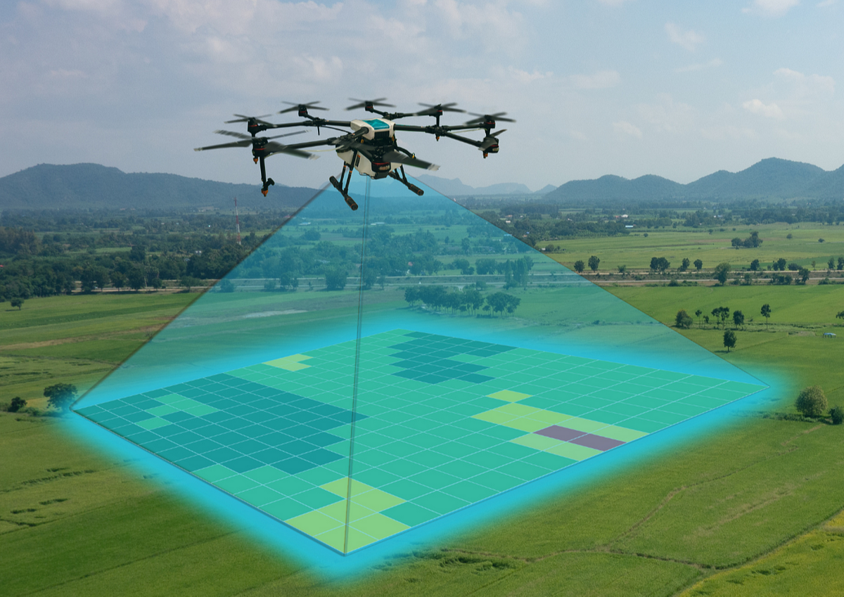
Photogrammetry is used to extract meaningful object and environment data via aerial, satellite, and UAV imagery. It’s essentially the science of photographic measurements to obtain real-world data. The pictures recorded are further categorized, evaluated and analyzed using photogrammetry methods, and lastly displayed in 3D format.
For example, in the event of a natural disaster, say flood, pictures are taken by satellite or drone; photogrammetry can assist insurance companies by accurately measuring the regions that are susceptible to flooding, including impacted structures, agricultural regions, utility services and field modifications. This allows for a precise assessment of the impacted region, provides a 3D view of the region, without the need to leave the office. Therefore, rejecting any false insurance claims.
